
Abington Township Neighbors: Block Sources
Abington Township neighbor research is a property-block process. Start with one known address in the municipal map or County GIS, identify the parcels immediately around it, and carry each known address or parcel number into the county property and Recorder of Deeds systems. The result is a set of nearby property records and civic facts. It is not a listing of everyone who lives on a block. The County's property system does not permit an owner-name search as a starting point, and the Township map deliberately leaves personal and assessment details out of its public popup.
| Block Source | What It Shows About a Block | Access |
|---|---|---|
| Abington Resident Information Tool | Visually adjacent parcel geometry and civic service or district fields | Public address map with layers and measure controls |
| Montgomery County Property Records | Public property context for each known address or parcel | Address or parcel search; no name-first search |
| Recorder of Deeds | Recorded parties and document chronology for a known property | Public Access System account, counter, and paid-image channels |
| Pennsylvania voter resources | Voting district and polling-place context, plus a restricted request route | Map or controlled statutory request, never ordinary roster browsing |
| Reverse and telephone directories | A historic listed subscriber at a particular street number | Inspect the appropriate repository and dated volume |
| Civic and watch organizations | Public organization and community contacts | Township pages; no membership directory found |
A property record can establish the parcel context, while a recorded deed can establish a recorded party and document date. Neither establishes every present neighbor or every household member. The municipal map's ward, water, sewer, fire-company, watershed, and service fields give a useful block profile without assembling personal information.
Map Abington Township Neighbor Parcels
Use the Abington Resident Information Tool or the County GIS hub to place the starting address. The Township tool accepts Address / Site_Full_ searches, offers suggestions, and has layers, measure, and print controls. Its map is a practical way to understand proximity and parcel shape before looking for a property record. No authoritative documentation supports a one-click adjacent-parcel, radius, or neighbor-result list, so visual parcel selection is the documented method.
- Search for the known Abington Township address and select its mapped feature or parcel.
- Pan around the selected parcel, use layers and measurement for scale, and write down the adjacent parcel numbers or street addresses.
- Search each known address in Montgomery County Property Records. Choose municipality ABINGTON to reduce same-street results elsewhere in the county.
- When a title-history question remains, search the Recorder Public Access System by the known address, parcel, or recorded party and compare the deed's legal description and plan reference.
- State the result at its actual scope: an adjacent parcel, a recorded party in a dated document, or a historic listed subscriber.
The longer address chain for an entire named street belongs on the Abington Township Street Directory. The immediate-block method should end when the adjacent parcels and their source-specific records have been identified.
Abington Township Map Limits for Neighbors
The Township map is rich in civic geography. A selected address can display its parcel number, ward, trash day, leaf area, water, sewer, parcel square footage, voting district and place, electric or gas service, fire company, watershed, and commissioner contact. County GIS applications can locate and identify features, show authoritative geographic layers, and help compare parcel geometry. The County also warns that map data are supplied as is and are not a legal description, survey, or title determination.
The Township Public Information page identifies the Resident Information Tool as its address entry point.
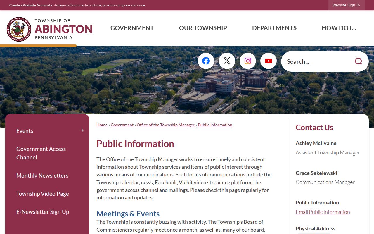
The public information resource leads to civic context around an address. Its map popup does not visibly publish owners, mailing addresses, assessed values, sale details, rooms, or historic occupants, even where underlying datasets carry other fields.
Note: Use a map to locate nearby parcels and civic services, then use a custodian record for any separate recorded-property question.
Civic Context for Abington Township Neighbors
A block can have a clear public civic profile without a public neighbor roster. The map identifies a Ward, Voting District or Place, Trash Day, Leaf Area, water, sewer, Electric or Gas service, Fire Company, Watershed, and commissioner contact. These fields help a resident understand which services and public contacts apply to an address. They do not identify utility customers, household members, or unrecorded residents. A mapped parcel reflects present geometry, which may not match a historical block after a subdivision, consolidation, street project, or revised legal description.
The Township's Get Involved page describes community activity and neighborhood watch, Block Watch, and Dog Walk & Watch areas in Abington, Glenside, Huntingdon Valley, McKinley, and Roslyn.
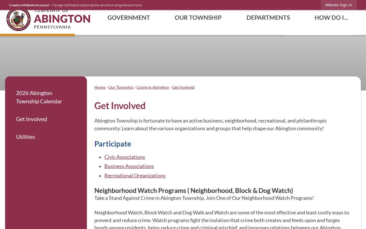
These public programs provide community and safety context for Abington Township neighbors. They do not publish or imply a list of participating residents.
Abington Township Neighbor Organizations
Organization contacts are useful when the goal is to understand a neighborhood's public civic layer. They are not a path to private membership information. The Township's official civic directory lists public contacts for Ardsley Civic Association and Rydal-Meadowbrook Civic Association. Township event materials identify several other local associations, and the Township describes five community fire companies. A public contact can answer where an organization receives inquiries. It says nothing about who belongs to it or lives nearby.
| Township civic or organization resource | Public context |
|---|---|
| Ardsley Civic Association | Public organization contact listed in the Township civic directory. |
| Rydal-Meadowbrook Civic Association | Public organization contact listed in the Township civic directory. |
| Ardsley Community Association | Named in Township event materials as local association context. |
| Greater Glenside Patriotic Association | Named in Township event materials as local association context. |
| Keswick Village and Roslyn associations | Named in Township event materials as public local context. |
| Abington, McKinley, Weldon, Edge Hill, and Roslyn fire companies | Neighborhood-service context, not a source of member identities. |
The Abington Township neighborhood-organization directory is the official source for the listed civic contacts.
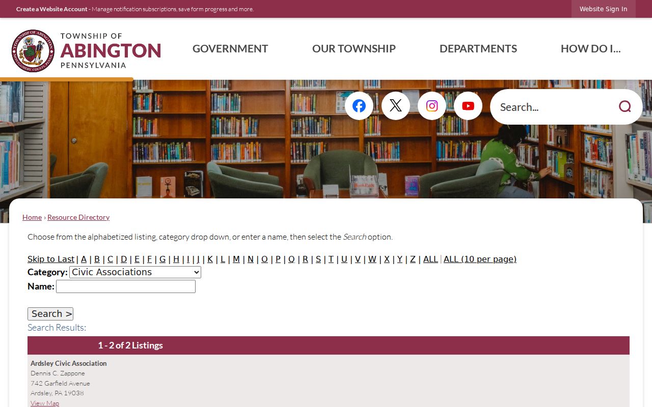
Use the directory to contact an organization by its published channel. No public association, congregation, fire-company, or watch-member roster was verified for Abington Township.
Voter Boundaries for Abington Township Neighbors
The Pennsylvania voter-status tool is for an individual's registration and related election information. It is not a public street directory. At the local level, Montgomery County Voter Services provides election administration and assistance. For ordinary civic use around an address, the Township map's voting district and polling-place fields are the appropriate public facts. They connect a property to election geography without turning a block into a list of voters.
Pennsylvania's separate voter-list request route is constrained by 25 Pa.C.S. §§1207(b) and 1404(c)(2). A requester identifies themselves and affirms in writing that acquired data will be used only for elections, political activities, or law enforcement. The public-information, street, walking, and full-export options have defined fields and a $20 electronic request price, but the legal limitation remains. Electronic signatures and SURE ID are excluded, and a protected ACP address may not be defeated through this request channel.
Abington Township Neighbor Records Compared
Official sources and commercial profile products answer different questions. The official route ties a fact to a named custodian, a selected parcel, a court docket, or a dated record. Commercial profile publishers can combine public and purchased fragments, and Pennsylvania has no verified statewide data-broker registry, universal deletion portal, or general statutory deletion right. Their results may be incomplete, stale, or joined to the wrong person. A nearby name without a source and date is not a reliable block record.
| Official record or map | Commercial profile category |
|---|---|
| Shows a source-specific fact, such as civic geography, a parcel context, or a recorded party. | May combine fragments from changing sources with uncertain timing and identity matching. |
| Has a named custodian for questions or corrections. | Uses its own stated privacy or opt-out channel, if one is offered. |
| Requires the reader to honor record-specific limits. | Does not replace a deed, map, court docket, archive entry, or official correction route. |
For a wrong official record, contact the actual custodian. A lawful recorded deed, public mature historical vital record, or public docket is not erased by a commercial opt-out request. For a commercial profile concern, use the publisher's stated privacy channel and keep its confirmation.
Historic Clues for Abington Township Neighbors
Historic neighbors require a source that matches the period. The Library of Congress guide identifies Eastern Montgomery County criss-cross directories for 1970 and 1973–1995. A reverse directory normally organizes street and number to a listed subscriber, but it is not a census and should be compared to the Recorder's deed or plan record for the same time. The Library of Congress also holds digitized Eastern Montgomery County telephone reels for 1941–1943 and 1944–1955. A listing can locate a name, address, or phone clue for its volume, not an entire household.
For an older parcel question, compare a Recorder plan or deed, the 1871 Abington and Cheltenham atlas sheet, HSMC aerial or property materials, and the closest dated directory. Historic records may use Old York Road, Philadelphia, Jenkintown, Willow Grove, or other period labels tied to modern Abington Township. Record the map period and the exact street form rather than silently converting an older source into a current claim.
Note: A historic listed subscriber establishes a dated listing only, not a continuing residence or a complete household relationship.
Limits on Abington Township Neighbors
Pennsylvania's Address Confidentiality Program gives qualifying participants a substitute mailing address for many government records under 23 Pa.C.S. §§6701 et seq. That substitute address is not evidence of a physical location and must not be inferred from other datasets. Court matters can be sealed or limited. Newer vital records remain restricted. DMV information is not an alternate neighbor-address source. The fact that a public map shows civic services for a parcel does not change any of those boundaries.
Property ownership is also not the same as occupancy. A recorded party may never have lived at the parcel, and a mailing address can differ from the property's situs address. No documented Township map tool produces a one-click resident radius or an adjacent-owner roster. When the available records do not justify a conclusion about your Abington Township neighbors, leave the question unanswered.
Lawful personal use. Use Abington Township block information for a personal, lawful purpose. Do not use it to stalk, harass, intimidate, or harm any person.