
Searching an Abington Township Street
An address-first chain fits Abington Township better than a name-first search. Montgomery County removed owner-name searching from Property Records on June 17, 2022. Start with the street number and road, then retain the parcel context as the search moves between county and Township sources. A recorded party may be an ownership lead, but a deed does not prove who currently occupies a property. The public map adds civic geography, not household names.
- Enter the known number and street in Montgomery County Property Records, then choose municipality ABINGTON when the road name occurs elsewhere in the county.
- Save the property-address spelling and parcel identifier supplied by the address result. Sort controls can help arrange rows, but they do not restore an owner-name starting search.
- Use the parcel or address in the Recorder of Deeds Public Access System to locate recorded documents and compare the legal description or plan reference.
- Use the Township map to identify the ward, voting district or place, utilities, watershed, and other civic context for the known address.
- For a dated listing rather than a current household claim, test the closest available Eastern Montgomery County criss-cross directory volume.
Each result needs a date and a scope. A property screen, recorded deed, map popup, permit file, and old directory are evidence of different things.
Abington Township Street Search Fields
The county address form is the detailed search surface for a known road. Street is the only required field. A number plus street can return that number across suffix variations; street alone returns starts-with matches; and a partial street returns containing values. Use the ABINGTON municipality option to narrow a broad road-name result. The form has no ZIP field and no owner-name route.
| Property Records control | Input | Requirement | Documented behavior |
|---|---|---|---|
| Number | Text | Optional | Up to six characters. |
| Direction | Dropdown | Optional | Blank, E, N, NE, NW, S, SE, SW, or W. |
| Street | Text | Required | Up to 20 characters; wildcard * works. |
| Suffix | Dropdown | Optional | The official menu runs from ALLEY and ALY through WALK, WAY, and XING. |
| Unit # | Text | Optional | Up to six characters. |
| Municipality | Dropdown | Optional | Select ABINGTON for Township results. |
| Result Sort | Sort control | Optional | Parcel ID, Owner Name, Property Address, Sales Date, Sales Amount, LUC, or Altid. |
| Results per page | Dropdown | Optional | 15, 20, 25, 30, or 50 rows. |
The County address-search screen is shown here before a query is run.
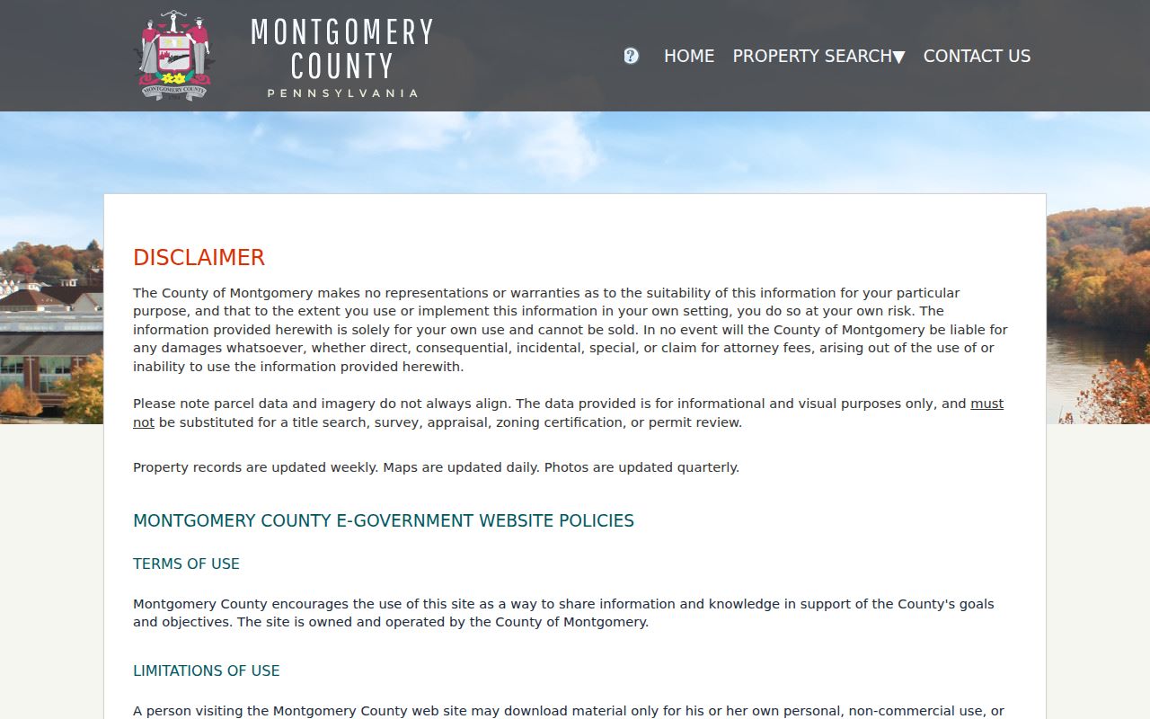
Its field layout supports a known-address search, not a ZIP-wide inventory or a general resident list.
Why Abington Township Street Searches Start
Montgomery County’s privacy change creates an important split in the workflow. The Property Records result list can be sorted by Owner Name after an address search, yet the portal no longer accepts owner name as the opening query. That difference is deliberate. Start with the physical address, parcel ID, map location, or an already established Recorder party, then use the resulting property context carefully.
County property information is refreshed weekly, maps daily, and photographs quarterly. The county also says parcel geometry and imagery may not line up, and that the display is informational rather than a legal description, survey, appraisal, zoning certification, or permit review. A mailing address, if one is visible in a record, is correspondence evidence. It should be compared with the situs address and a recorded document rather than treated as proof of a household.
Note: An address result can create a recorded-ownership lead, but it cannot establish every person connected with that street address.
Mapping an Abington Township Street
For municipal context, use the Abington Resident Information Tool or the county GIS hub. The Township tool searches Address / Site_Full_ with suggestions and can use a world geocoder. Its selected-address popup can show Parcel #, Ward, Trash Day, Leaf Area, Water, Sewer, Square Ft Parcel, voting district and place, utility service, Fire Company, Watershed, and commissioner contact. Layers, measure, and print controls help place the parcel in its local setting.
The county’s Data and Mapping Services hub makes public Esri applications and geographic data available for identifying features. Both map routes have limits. The County GIS disclaimer says its map data are supplied as is and are not a legal description. The Township popup does not visibly publish owners, mailing details, sale values, room counts, or historic occupants.
- Parcel
- An identified property unit used to connect the address, county record, and map context. Its displayed geometry is not a legal boundary determination.
- Situs address
- The physical location of the property, which can differ from a correspondence mailing address.
- Plat or recorded plan
- A recorded map or plan reference that can identify a lot, subdivision, or road relationship in the deed trail.
- Criss-cross directory
- A reverse directory arranged from street and number to a listed subscriber in a particular dated volume.
The Montgomery County GIS data hub is the starting point for the public map applications.
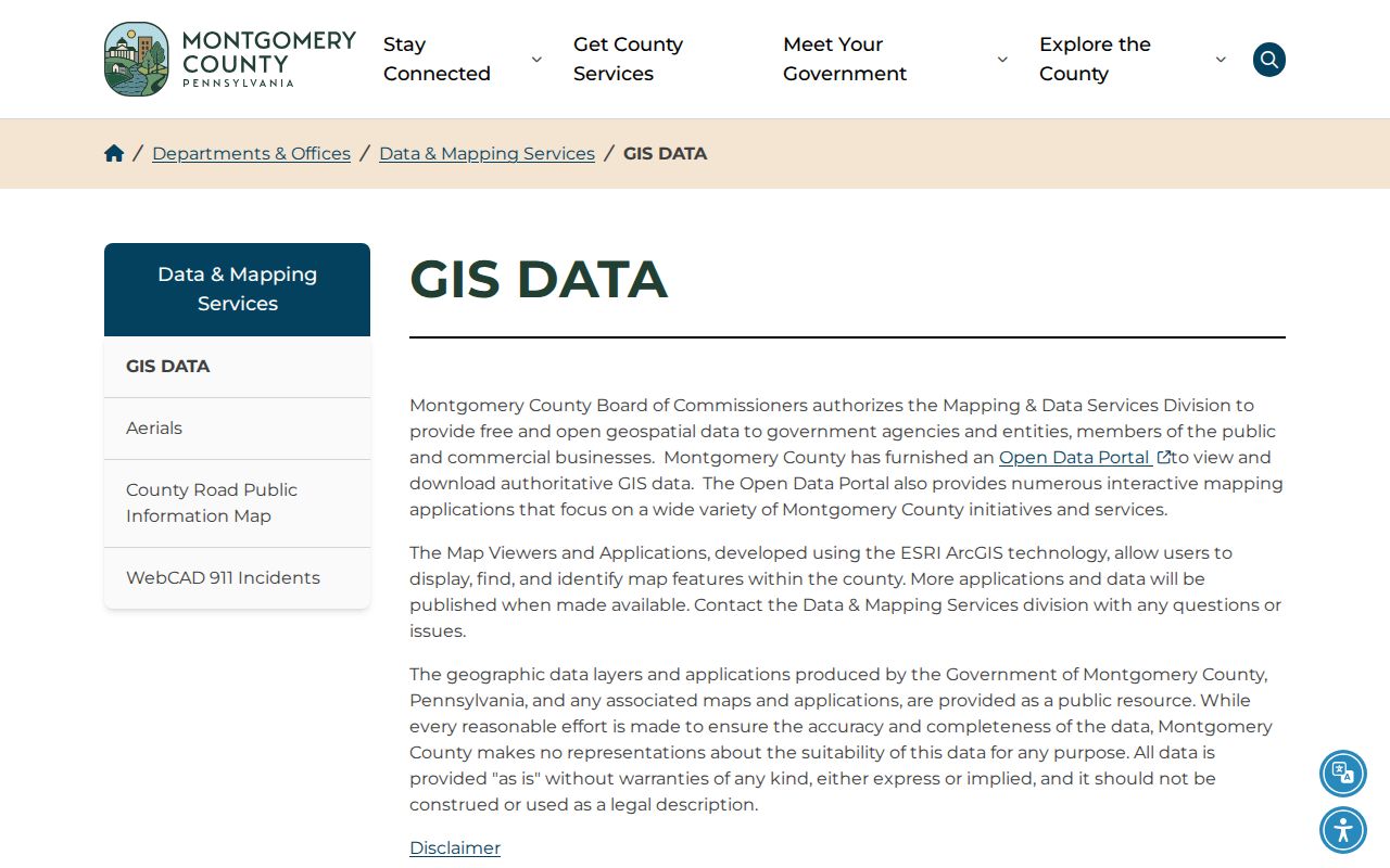
Use a map result to confirm geography and then return to Property Records or the Recorder for the supporting record.
Abington Township Street Records
Address-keyed sources can be combined without calling any one of them a resident roll. The property portal provides parcel and address context; the public map supplies civic fields; the Recorder documents recorded transactions; and Township permit material can place work or authorization at a known address. For a historic listing, a reverse directory is a dated subscriber source. Pennsylvania voter resources follow a separate, controlled path and should not be presented as an ordinary street browse.
| Address evidence | Custodian | Useful result | Access boundary |
|---|---|---|---|
| Assessment property record | Montgomery County | Address, parcel, property, and sales-result context | Address or parcel route; no initial owner-name search. |
| Civic map | Abington Township | Ward, district/place, services, and parcel geography | Not a people directory or legal boundary source. |
| Recorded deed or plan | Recorder of Deeds | Recorded parties, document placement, legal description, chronology | Account index, paid images/copies, or counter research. |
| Permit or code material | Abington Fire & Code | Known work date, application, or authorization context | No historic public results lookup confirmed. |
| Criss-cross directory | Library of Congress holdings | Listed subscriber at a street number in a dated volume | Not a census or full household list. |
For voter geography, the Township map can show the voting district and polling place. A Department of State voter-list request carries a written, limited-use affirmation and is not a normal by-street directory tool. The personal voter-status lookup likewise is for an individual status check, not a public street roster.
Abington Township Street Deeds
The Montgomery County Recorder Public Access System is the route from a known address or parcel to recorded documents. Create the required account, then search by address, parcel ID, or name when a recorded party is already known. Inspect the current deed, record the grantor and grantee, recording date, document or book/page reference, legal description, plan or subdivision reference, and parcel association where the document provides it. The earlier grantor becomes a lead for the next acquisition search.
Match the legal description or plan, not just a similar modern address. The Recorder says county holdings begin September 10, 1784. Remote image viewing is a paid route, with a $25 calendar-day or $300 monthly subscription and 50 cents per plain image page; a certified electronic copy costs $10.50. Counter research at One Montgomery Plaza in Norristown, mail/copy contact, and the paid remote channel are all valid alternatives. Use a computer when possible because the County describes mobile and tablet use as less functional.
The Recorder Public Access System gateway leads to the required sign-in and search workflow.
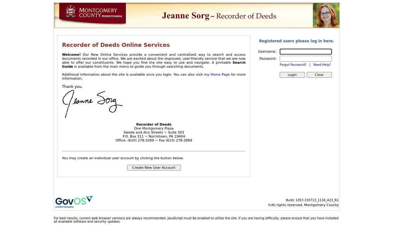
A recorded owner or party can anchor the document trail, but it is not a statement of current physical residence.
Abington Township Street Plans
Older road or subdivision work can require a plan-book search rather than an ordinary deed search. The Recorder’s instructions use three-character plan-book formatting. An A-16/Page 250 reference becomes Book A016/Page 250. Land-site plans begin L, condominium plans T, highway plans H, condemnation plans use PLN 1 through 15, and plan-case books use PLN volume with a PC prefix. These codes are a useful check when an old Abington street reference does not match the first search.
The document trail has known gaps. The county identifies missing deed books 1325, 1326, 1377 through 1381, and 1540 through 1544; missing mortgage books 1572 through 1580, 3340, and 3454; and missing plan books 16 through 21. A missing result in one of those books is not a negative ownership finding. The Recorder counter, historical societies, archives, and dated maps are the proper fallback paths.
Abington Township Permit Records
Permit material can date work at an address without identifying a household. Abington Township Fire & Code moved to digital permitting on July 1, 2025. Its residential application materials state that a non-owner applicant needs signed Property Owner Authorization and that contractor work needs a signed contract. Those documents can tie a known address to a work date and authorization context.
The Township says it does not have a residential use-and-occupancy permit. No searchable historic permit-result fields or coverage year were captured. For a specific historic permit or case, direct a request to the department under the Pennsylvania Right-to-Know Law, Act 3 of 2008, 65 P.S. §§ 67.101–67.3104, using the known address, department, date range, and permit or case number where available.
Note: Permit records are best used as work and authorization evidence, not as proof that someone lived at the address.
Abington Township Street History
For a past listing at one address, the most specific verified reverse material is the Library of Congress guide to Eastern Montgomery County criss-cross directories. It identifies holdings for 1970 and for 1973 through 1995. A criss-cross directory is organized from street and number to a listed subscriber, which makes it useful after the modern address and municipality have been normalized.
Read the key and volume before treating a name as an Abington entry. The listed subscriber may not represent the whole household, and a changed street form can produce a false match. Pair the dated directory entry with a Recorder legal description, a plan reference, or a historic map. For a deeper historical collection search, the Abington Township city directory materials cover the repository routes and dated directory sources.
Limits on Abington Township Street Records
Abington Township street records can establish a parcel setting, identify recorded document parties, locate civic services, and find a listed subscriber in a particular historic volume. They cannot enumerate every resident, utility customer, family member, or unrecorded occupant. County property data are informational, the Township map intentionally omits visible owner and household fields, and a recorder document describes a recorded transaction rather than day-to-day occupancy.
Lawful use. Use Abington Township address records for personal, lawful research and civic understanding. Do not use a street or property search to stalk, harass, intimidate, or harm anyone.